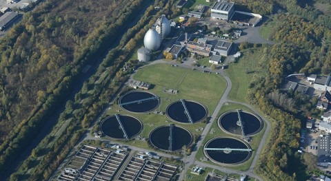

The European Commission’s Joint Research Centre (JRC) unveiled the beta version of the Global Flood Monitoring (GFM) tool, unique for its capacity to process all data received by the Copernicus Sentinel-1 satellites.
Making use of the synthetic aperture radar of Sentinel-1 that enables image acquisitions regardless of weather or daylight conditions, this tool will improve both the emergency response and the prevention for future floods worldwide.
It produces flood monitoring maps within less than 8 hours after the satellite has acquired the image at a spatial resolution of 20m at global level.
For Europe, the tool can provide updated flood monitoring maps every 1-3 days whereas for areas outside Europe updating of the flood maps may take between 6-12 days depending on the Sentinel-1 schedule.
The tool is currently accessible through the map viewer of the Global Flood Awareness System (GloFAS) of the Copernicus Emergency Management Service (CEMS) and will be, at a later stage, also available through the map viewer of the European Flood Awareness System (EFAS).
It produces flood monitoring maps within less than 8 hours after the satellite has acquired the image
The monitoring of the ongoing floods using satellite data from GFM, complements the flood forecasts of EFAS and GloFAS that are calculated using weather predictions and a hydrological model.
The combination of both tools within one interface enables its users to better support the preparedness of an upcoming flood (forecasts) as well as the response to an ongoing flood event (monitoring). This constant, global, high-resolution monitoring represents a significant progress in the EU’s disaster awareness and prevention.
The results produced by GFM can be used for planning and coordinating emergency response to an ongoing flood or for supporting international help in affected areas. In addition, the archive of the GFM, which contains flood monitoring maps derived from the processing of all Sentinel-1 data starting 1.
January 2015, enables decision makers to improve prevention plans to avoid or to reduce the impact of future floods and scientists to use the dataset of GFM to validate or calibrate models for improving predictions of impacts of floods under climate change.
The GFM is the result of years of scientific development of the JRC and partners (Earth Observation Data Center, Technical University of Vienna, Luxembourg Institute of Science and Technology, Deutsches Zentrum fuer Luft und Raumfahrt, Geoville, CIMA Research Foundation). This latest addition to the CEMS portfolio of products is launched during the CEMS Days, an event bringing together users of the CEMS tools to discuss the service and its evolution.
During the CEMS days, the JRC also presented the Global Human Settlement Layer (GHSL), which produces global spatial information about the human presence on the planet over time. GHSL has now been added to the CEMS suite of tools, as a new ‘exposure mapping’ component. Detailed information on exposure is fundamental to adequately managing crisis and disaster risk.
The GHSL provides highly accurate information derived from satellite and census data. It can help in answering questions like: how many people are living in the flooded areas? Or: how many settlements and people will be affected by a cyclone?
This information will be used in the on-demand mapping and early warning and monitoring components of CEMS. The information is also useful for a wide range of domains, from monitoring urbanisation to the progress towards the Sustainable Development Goals.