In recent years, Geographic Information Systems (GIS) have become an essential tool for water utilities. These systems enable companies to integrate and represent an ever-increasing flow of information, driven by digital transformation and advances in infrastructure sensors, although this is not an end in itself. The ultimate goal is to manage water more efficiently and effectively.
In practice, any data with geospatial content can be represented in a GIS, including satellite and drone images, sensor information and vector data. This enables us to bring together the value of the location and its information in a single tool, where it can be centrally managed. Visualization is dynamic and collaborative, since maps can be shared and distributed on different platforms.
GIS help to understand patterns and trends, and to analyze data and establish relationships between them. They also help to monitor changes that water utilities make to their infrastructure. The data insights they provide help managers solve problems on the road to greater sustainability. Any geolocated data multiplies its original value by three, since visualizing alphanumerical data in a location provides the user with crucial information to guide real actions.
In short, thanks to these systems, companies can extract value from their data to improve their business processes.
Sergio Aznar, GIS Department Director at Idrica, details the top trends in GIS for 2022.
From data to efficient water management
Good geospatial orientation in data interpretation, performed by a GIS specialist, makes for better decisions in the water industry. For example, proper understanding of a terrain's orography makes it easier to choose the best location for pipelines and the connections between them.
In terms of the creation of typologies, GIS help with the layout of different hydraulic elements (valves, nodes, filters, plugs...) so that they comply with topological rules. Although they can be adapted to each company's needs, there are a series of minimum requirements that must be taken into account, such as the calculation of the volume of water to be carried by each pipe according to its diameter and nodes. This is just one example of how GIS help to manage water.
The figure of the GIS specialist is gaining in importance in water utilities, thanks to their analyses, interpretation and spatial management of data. But once the data is available, what can utilities do with it to be more efficient? This is the question we must answer in every scenario.
Innovative use cases in the water industry
The popularity of GIS in the water industry ties in with the capabilities it delivers across the entire water cycle. Some of the most innovative use cases we are already seeing in the industry include:
Drinking water
GIS help utilities minimize water service interruptions following interventions in the distribution network. The information they provide about the branches and pipes affected by repair work or a leak determines which assets need to be shut down to minimize any negative effects. They also identify and alert users when their water supply has to be cut off.
These systems also collect vital information to prevent network failures, such as the material the pipes are made of or the date they were installed. By combining data with the geographic element in the geospatial analysis of the pipes, it is possible to intelligently guide inspections and even detect branches in use that should no longer be operational. The geolocation of field work is another important use case in this area, from the mapping and tracking of routes to generating information about the task performed together with its location.
Wastewater
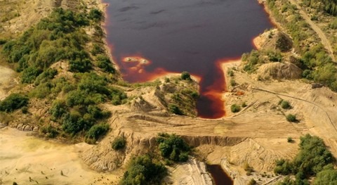
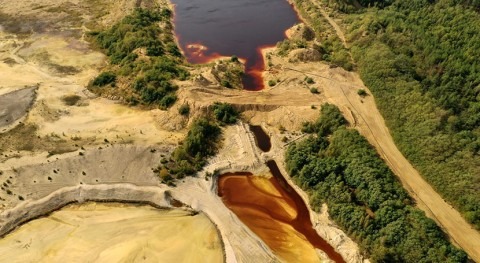
GIS are the perfect partner for wastewater-based epidemiology, which has come to the fore during the coronavirus crisis. The analysis of the presence of certain viruses in the population, combined with geolocated information from pipes, connections and sewerage branches, enables us to draw maps of contagion in cities, and provides us with information about the areas with the highest virus incidence, together with other data such as population density and age, which can assist the health authorities in the measures they need to take.
Another use case in which these systems are useful is flood prevention in cities. Thanks to remote sensors, possible blockages and poor sewer drainage capacity can be pinpointed. This enables municipalities to take action to prevent flooding after a heavy rainfall event.
Irrigation
In the current context of environmental concerns, GIS are essential for efficient irrigation. When combined with technologies such as sensors (Internet of Things), remote sensing and satellite imagery, irrigation associations can visualize the volume of water at each location on their plots in real time. If it is higher than desired, the farmer receives an alarm to adjust the irrigation flow, or to check whether there is a leak in a drip irrigation element. The same thing happens if the flow rate is lower than expected, which could signal a blocked pipe.
In addition, the geolocated inventory of pipes, with information about what they are made of and the date they were installed, is key to preventing bursts and assessing damage. Thanks to GIS, irrigation associations can prioritize which assets need to be replaced before they begin to fail. Other preventive areas include soil preparation if soil moisture remains too high due to the presence of fertilizers or nitrates. Irrigation can also be suspended if the water level is too high.
2022: committed to the geolocation of all processes
Water utilities are committed to implementing GIS and linking them to their corporate systems and tools to solve key aspects of day-to-day management. It is no longer just a matter of geolocating infrastructure elements and obtaining information about them. Instead, advanced use cases are being developed, such as real-time monitoring of field work through operator-managed mobile applications. Integration with GPS systems and mathematical models is already a reality in leading utilities. In addition, work is being done to achieve optimum water quality by adjusting pipeline parameters and predictive models.
3D visualization of data will be a key area over the next few years. It will enable users, for example, to see which floor of a building the water pressure reaches without having to use a pump, or to obtain a 3D map showing the depth of the different hydraulic elements that make up the drinking water and wastewater systems, such as pipes, manhole covers and valves. Thus, any work can take into account their position to prevent duplications, and to focus interventions on the right areas. This is a very important step forward in usability.
Other GIS trends include cloud developments, autonomous vehicle-driving, Building Information Modeling (BIM) and the Internet of Things (IoT). In irrigation, advances will continue to be made in prevention, water volume adjustments and early crop pest detection, always based on a collaborative approach and on cultural change in companies.
On the other hand, advances in 5G-NR will transform the way data is visualized and interpreted, making it immediately available. This will facilitate the development of algorithms and functional and statistical calculations. By working on instantaneous data, companies and users will be able to receive real-time alarms for events in hydraulic elements, such as meters. We will be able to link an image or a button on a map so that the element can be remotely managed by interacting with it. This low-latency interconnection will enable utilities to continue to drive water efficiency.
Companies are already moving towards greater use of GIS, which will become easier to interpret as more information becomes available. The quest for greater customer usability will shape the roadmap for new GIS use cases in industry. We will be able to use water more intelligently and make more accurate predictions about the future, if we know precisely what is happening in the infrastructure.
Idrica's Water Technology Trends 2022 report provides a comprehensive list of trends for the industry, including the Trends in Geographic Information Systems for 2022.