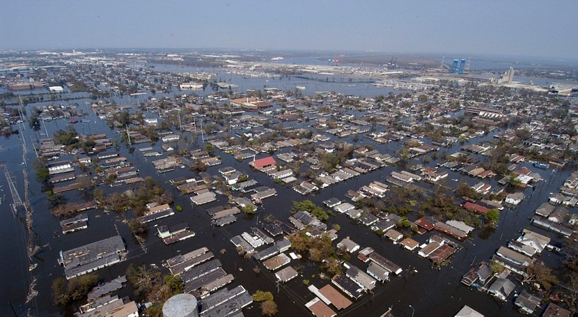
High tide flooding, one of the most noticeable impacts of sea level rise globally, is expected to become more frequent in the United States, particularly on the East Coast, according to predictions of the Nacional Oceanic and Atmospheric Administration (NOAA), reports NPR News. As sea level rises, it no longer takes a strong storm to cause coastal flooding at high tide: it can happen on a calm, sunny day, and it is becoming more chronic and disruptive to coastal communities.
William Sweet, oceanographer at NOAA, and his team have been tracking the number of high-tide flood days in coastal cities over the past five years. Their findings, in a recently released report, show that there is an important increase in high-tide flood days in over 40 locations in the US, suggesting that once sporadic impacts may become quite frequent.
This type of research can help local authorities in coastal areas understand current and future trends and prepare for them. Although some cities on the West Coast and Gulf Coast are also affected by sea level rise, including San Diego, Seattle, Galveston and Houston, the largest flood risks increase is seen on the East Coast. In fact, 12 communities on the Eastern seaboard either broke or tied their record for the number of days with high-tide flooding in 2018, some exceeding 20 days.
Researchers found that the flood risk is not the same everywhere: sea level is rising faster in some places along the East Coast than others. A Study by scientists from the Woods Hole Oceanographic Institution in Massachusetts published in Nature in December 2018 found that most variation in sea level rise along the East Coast was due to post-glacial rebound. Weighted-down land areas covered by ice sheets during the last Ice Age gradually rebound over millennia, while peripheral lands sink. If you eliminate that factor, researchers found that ‘sea level trends increased steadily from Maine all the way down to Florida’.
To address flooding issues, local authorities and urban planning professionals are looking into how to redesign the communities and communicate the risks to the population. Some measures may include upgrading storm drains, raise the road levels and use pumps to remove excess water. Some cities have prepared flood-proofing guidance for residents in areas vulnerable to flooding, with information on options to minimise flood damage.
Charleston, South Carolina, is a case in point: flooding caused by rising seas and heavy rains is a chronic problem and during the summer it may occur once a week. The city is consulting with experts from the Netherlands to develop new infrastructure and adapt to tidal flooding into the future. Forecasts such as the ones in the NOAA report and those from the National Weather Service are helpful tools to know what to expect next year, and future trends.
NOAA’s projections estimate that between May 2019 and April 2020, high tide flooding will occur about twice as often as levels typically observed in 2000. El Niño conditions that are predicted to persist through 2019 are a factor for the increase, along with continued sea level rise. Concerning long-term forecasts, the current national median of 5 high tide flooding days per year is likely to increase to about 7 - 15 days by 2030 and 25 - 75 days by 2050, with much higher rates in many locations.


