The active La Soufrière volcano, located in the Caribbean Sea within the country of St Vincent and the Grenadines, erupted last April for the first time in 40 years, sending an ash cloud 10 km into the sky. At more than 1,200 metres high, the volcano generated an intense ash shower in the surrounding area, even damaging nearby islands and disrupting air traffic in the area.
Eruptions continued throughout April, with constant lava flows, earthquakes, ash plumes and seismic activity. In early May, the explosions subsided, but seismic activity and the risk of lahars persisted as rainfall increased. Ash plumes and sulphur dioxide reached far enough to affect the islands of Barbados, Grenada and St. Lucia.
This scenario complicated access to fresh water in St. Vincent, which already suffers from shortages especially during the annual six-month dry season, when river flows diminish considerably. Water systems are fed mainly by surface water. The Grenadines is devoid of surface water and has little water. Therefore, access to groundwater is sought there.
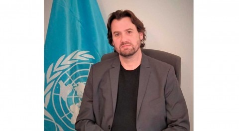
Faced with this complex scenario, the Government of St. Vincent and the Grenadines is counting with the support of IHP-LAC to ensure water security, under the direct supervision of the regional hydrologist Miguel Doria, specialist of the UNESCO Intergovernmental Hydrological Programme for Latin America and the Caribbean. In cooperation with international experts Mr. Henrique Chaves and Mr. Mauricio Vera Camiroaga, a series of groundwater studies will be carried out following the eruption of the Le Soufriere volcano and its subsequent impacts, with the aim of ensuring water security in the territory. "The big issue is how to ensure water security in Saint Vincent in the short, medium and long term, with volcanoes, hurricanes and climate change. You have to be positive and optimistic, but aware of the challenges," said Mr. Doria.
IHP-LAC will provide technical support in assessing the impact on the freshwater systems of St. Vincent and the Grenadines, in particular through its GRAPHIC and ISI programmes. GRAPHIC (Groundwater Resources Assessment under Pressures from Humanity and Climate Change -GRAPHIC- project) has a history of providing technical assistance to Caribbean countries in the face of climate disasters, such as the water resources assessment conducted in the aftermath of Hurricane Dorian in the Bahamas in 2019. The ISI (International Sediment Initiative) aims to assess erosion and sediment transport to marine, lake and reservoir environments, as well as water reclamation and conservation, linking science with policy and management.
The Central Water and Sewerage Authority (CWSA) is the agency responsible for the collection, treatment and distribution of drinking water for domestic, commercial and institutional uses. The CWSA's water supply comes from small river intakes and three springs. About 90% of households are connected to its water supply system in this locality.
The impacts of the volcanic ash fall on water systems in the CWSA* have included: affecting surface water quality, shutting down the water supply system for several weeks in some cases, and exploiting alternative water sources, namely groundwater resources. Few inhabitants have developed private systems, relying mainly on rainwater harvesting and boreholes.


