In a new report published, U.S. Geological Survey scientists determined that groundwater in the Smith and Mason Valleys, a key agricultural region in Nevada, is being used up by humans at rates faster than it can be replenished.
The report documents water-level changes between 1970 and 2020, estimating groundwater storage-volume declines of 287,600 acre-feet in Smith Valley and 269,000 acre-feet in Mason Valley. The study also demonstrates that even during wet years, the Walker River is not able to adequately recharge the groundwater supply.
“Looking at groundwater, streamflow, and climate data from over half a century, it is clear that we are running into a water deficit,” said Gwendolyn Davies, USGS hydrologist and lead author of the report. “Groundwater is like a bank account, and when you take more out than you are putting in, at some point the account runs dry.”
In the report, valley-wide water-level change was calculated by comparing water-table maps for the periods 1970-1995, 1996-2006, and 2007-2020; as well as the overall change from 1970-2020. Trends in water-level change corresponded with patterns in groundwater pumping and stream efficiency.
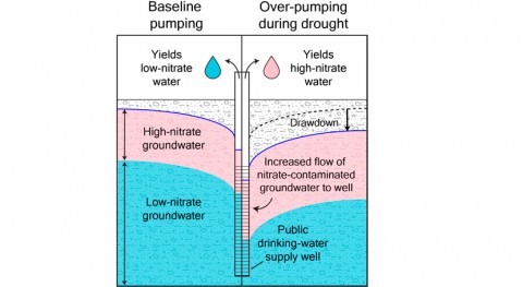
The introduction of supplemental groundwater pumpage in the 1950’s was initially intended to offset surface water deficits only during dry years, but pumpage continues even in years when average or above average stream flows meet surface water demands. Reliance on supplemental groundwater pumpage has resulted in widespread groundwater storage decline and decreased stream efficiency. With each successive drought cycle, the ability of Walker River to sustain stream flows and convey water downstream has diminished.
“This report will provide essential information to communicate recent status and trends in water resources in Smith Valley and Mason Valley, and to help the local water users move forward on developing a long-term plan for sustainable water use.” said Adam Sullivan, the State Engineer with the Nevada Division of Water Resources.
Above average wet periods have a marginal and short-lived effect on rebounding the groundwater levels outside of the river corridor.
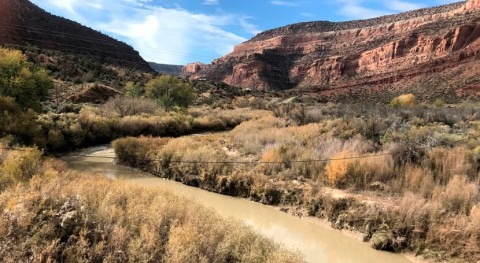
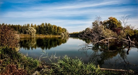
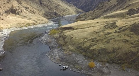
The Walker River originates in the Sierra Nevada Mountains and flows nearly 160 miles to its terminus at Walker Lake in west-central Nevada. The river provides a source of irrigation water for tens of thousands of acres of agricultural lands in California and Nevada and is the principal source of inflow to Walker Lake.


