
EU crisis: towards active, not reactive, digitalisation of forest-fire monitoring
From national emergency to EU crisis
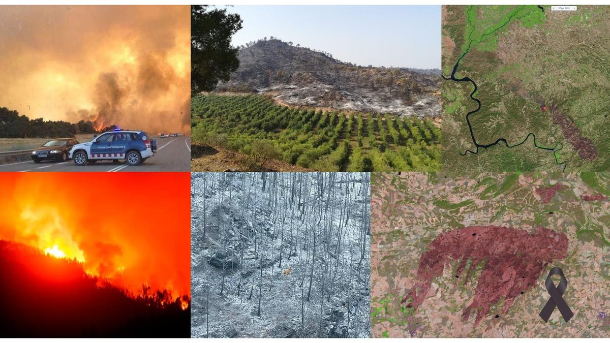
The Government declared the national emergency on 25 July 2026, with the Ministry of the Interior taking sole command of the fires in Madrid, Ávila and Toledo; it is only the second time this level has been activated. More than [ ] professionals have been deployed on the ground, together with the UME (Military Emergency Unit) and water-bombing aircraft, and in less than six hours four European Canadair aircraft (Greek and Italian) were mobilised through the EU Civil Protection Mechanism.
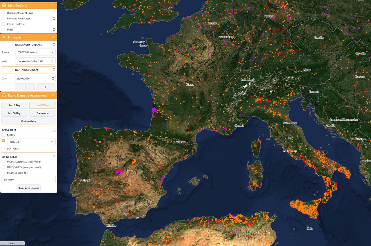
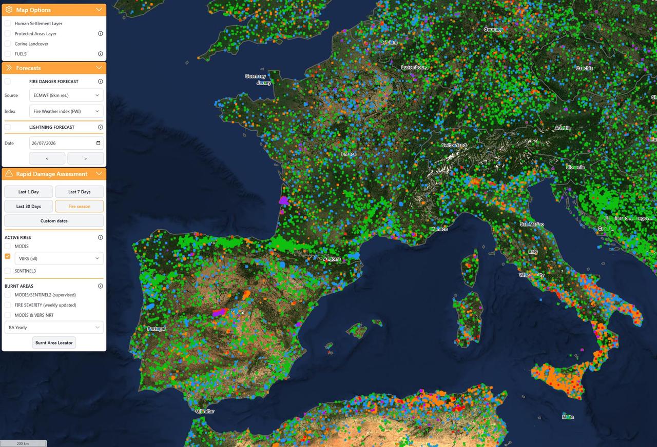
Initially, this post was going to open with “National Emergency” because of the declaration made by the government. Still, given the major forest fire severely affecting the surroundings of Bordeaux (200,000 evacuated), as well as other fires scattered across the EU, I found the phrase «EU Crisis» more fitting.
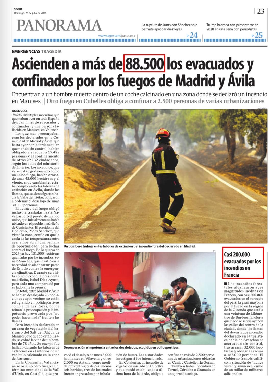
In the report by Segre one can see that, while those evacuated in the Madrid and Ávila fire numbered 88,500 people, in France the figure has already reached 200,000 evacuees.
What I have written about wildfires
- Forest Fires and Irrigation (20/7/2016) — where I defend the role of agroforestry irrigation as living firebreaks: it reduces land abandonment, raises local relative humidity, provides a human presence for early detection and offers infrastructure (channels, ponds, hydrants) for firefighting.
- Adaptation and mitigation to climate change, at the plot level (10/7/2019) — on how adaptation and mitigation to climate change begin at the smallest scale, that of the individual plot.
- Fires, river basins and irrigation (1986-2020) (17/5/2021) — a journey through more than three decades of data on the relationship between fires, river basins and irrigation.
- Drought and time series of satellite images (11/2/2022) — on how remote sensing makes it possible to track the water stress of vegetation, which is the prelude to fire.
- Drought and forest fires. #DataOpenDay in EU (9/3/2022) — on the value of open data for understanding the relationship between water deficit and fire risk.
- Heatwaves, or confirmation of climate change? (27/7/2022) — on heatwaves as a symptom, and no longer an exception, of a climate that has changed.
- The Oliola Fire and land management (4/7/2025) — a field analysis of how land planning (or its absence) determines fire behaviour.
- The football World Cup, agriculture and forests illustrate the importance of hydration and protection in times of climate crisis (15/7/2026) — framed around the climate crisis and land protection: the forest appears, alongside agriculture, as one of the systems that must be hydrated and protected during increasingly intense heatwaves.
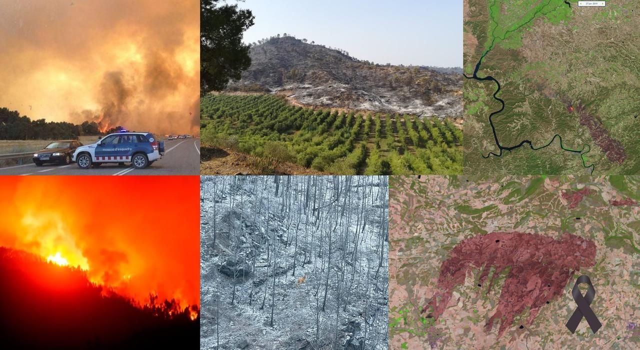
My connection with this subject also goes back a long way. In 1998 I took part in drafting the Plan against Large Forest Fires of Catalonia, at a time when we were beginning to understand that the problem was no longer “normal” fires, but large fires, the ones that change scale. Almost three decades have passed. Firefighting resources have improved extraordinarily. But the logic remains, in too many cases, the same: we prepare the response far better than we prepare the anticipation.
We react to the climate crisis, we do not anticipate it
The climate crisis does not arrive as a date on the calendar, it arrives as a bill. And in water and land management we have the bad habit of not digitalising until a bill that is too large lands in our hands.
The example is recent and stubborn. Until the 2023 drought arrived — which coincided with the PERTE (strategic projects) for the digitalisation of the water cycle — the modernisation and digitalisation of irrigation did not really take off in many water user associations. The technology existed —remote metering, remote sensing, GIS with spatial information on plots and infrastructure, soil-moisture sensors, crop water-demand models—, but the push was missing. That push almost always comes in the form of an emergency. First the scare, then the investment.
Quantifying the ferocity of the Madrid and Ávila fires
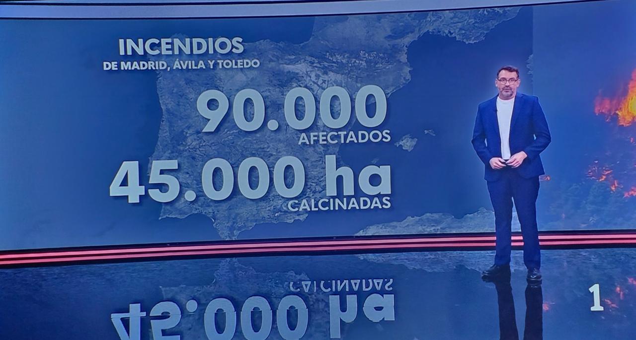
The economic impact of an episode like this is measured in several layers that add up. There is the direct cost of firefighting (aerial resources, personnel, logistics), which in a large fire runs into millions of euros a day.
In this Infobase report, “Spain spent up to €6.7 billion putting out fires in 2025 and, so far in 2026, has already doubled the hectares burned in the same period”, it is stated that putting out the fire costs between €10,000 and €19,000/ha. If we multiply these €20,000/ha by the 45,000 ha affected these days, we arrive at €900 million in firefighting costs.
To the firefighting cost we must add the destruction of property: homes, infrastructure, farming and livestock operations. And there is, above all, the loss of ecosystem services, the bill that does not appear on the evening news but that we will pay for decades: every hectare of well-conserved Mediterranean woodland provides services (water regulation, carbon fixation, erosion control, biodiversity) whose replacement value is usually estimated at thousands of euros per hectare.
Personal impact. In certain fires, personal losses must be added to the economic cost. We are still too close to the Los Gallardos fire, where 13 people lost their lives. From here, a tribute to everyone who takes part in the firefighting operations.
When speed matters more than water
There is a counterintuitive idea worth fixing in mind: it is not always the one with the most water nearby who wins, but the one who detects and intervenes soonest.
We are facing what specialists call sixth-generation fires: fires so intense that they generate their own weather. They release such an amount of energy that they form pyrocumulus clouds, convective columns that collapse and project fire in all directions, with rates of spread and heat output that overwhelm any firefighting resource. They are not put out; they can only be waited out, flanked, and one hopes the wind drops or the fuel changes. We have them documented in Sierra Bermeja (2021), Tenerife (2023), and now we are living through them in Madrid and Ávila.
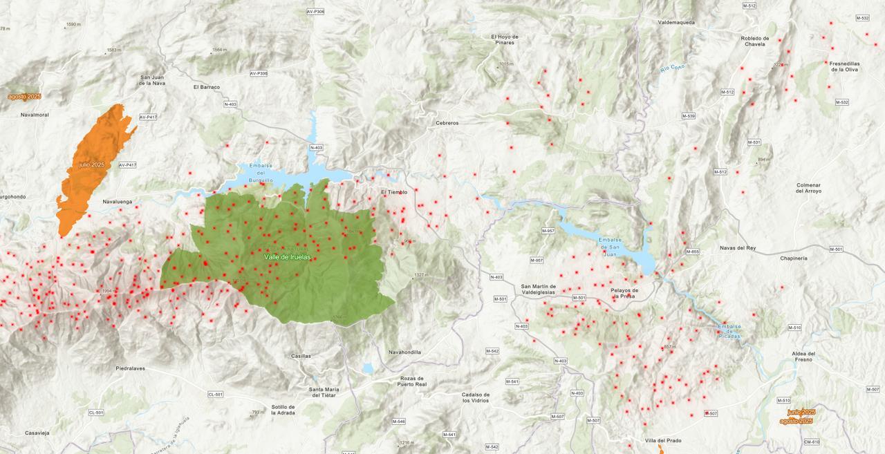
Innovation advances when demand increases
During this fire, the Government announced the “Innovación X Clima” programme, funded with €300 million in participating loans (through ENISA’s FEPYME Fund) to boost SME innovation in solutions to climate risks: water, energy and natural-disaster prevention (La Moncloa press release).
Money to innovate is a necessary condition, not a sufficient one. You can incentivise startups, but innovation in forest monitoring will not truly take off until forest owners —public authorities and private individuals— carry out the cost-benefit analysis of monitoring their land and the numbers add up for them.
When rural areas have no network coverage
There is a difficulty that is far from minor and is often forgotten from behind a desk: the land that burns is usually in the so-called ’empty Spain’ (la España vaciada). These are areas of low population density —there is no one to raise a quick alert—, with rugged terrain and, very often, no communications coverage. There is no one to watch, no one to warn, and often not even a signal for the sensor itself to transmit the data. Depopulation not only leaves the land without management or clearing; it also leaves it without communications. The territory that most needs monitoring is precisely the hardest to monitor.
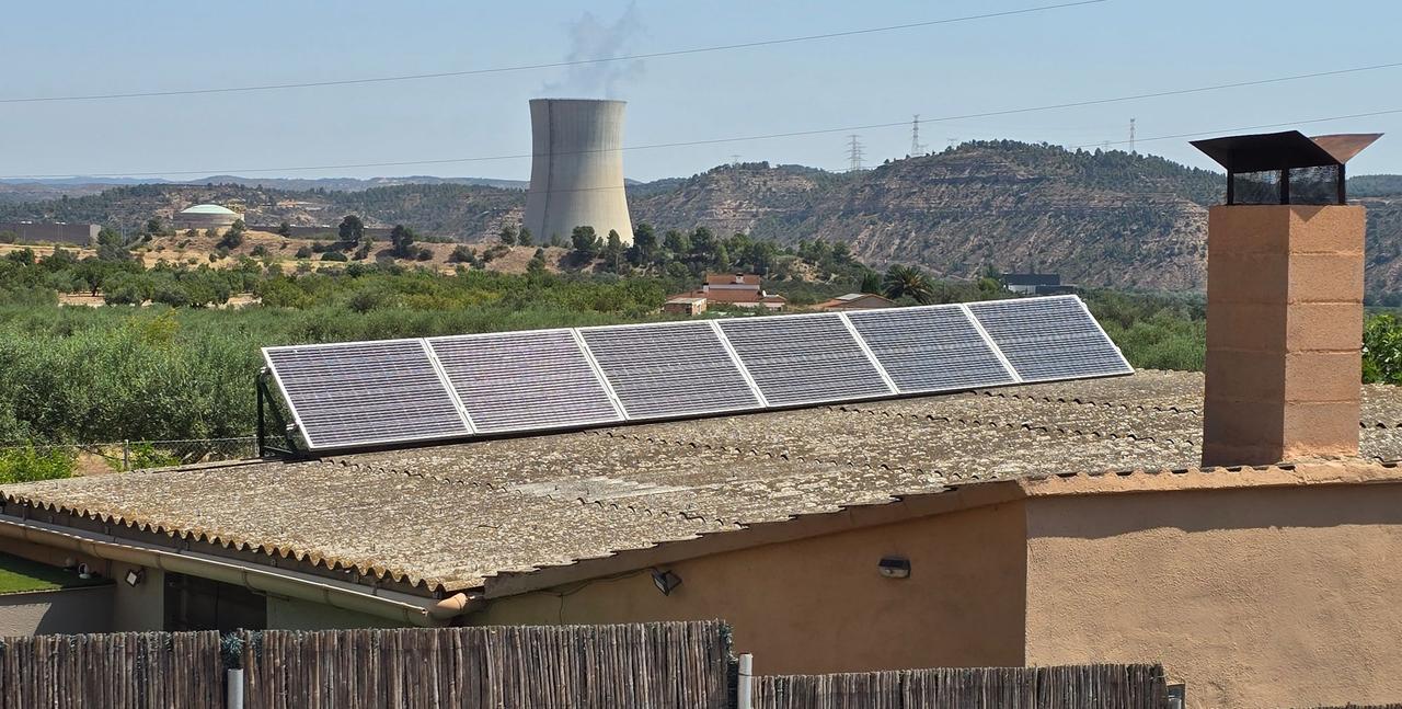
On 8 July I began a project with the Fundació i2CAT to improve water management in the Ascó Irrigators’ Community, right in the area of the Nuclear Transition Fund. We installed two communications modules near the nuclear power plant, with communications coverage far below what the operators’ maps claim.
The operators’ coverage maps do not match reality, and often the forests that are monitored first must have LoRaWAN networks installed in order to have any communication.
Pyros: fire detection and monitoring that already works
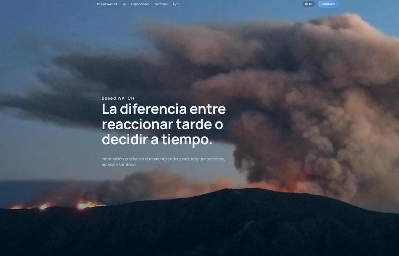
After several fires in Catalonia, this past Tuesday 21 July I arranged a video call with a technician from a digitalisation unit of the Generalitat de Catalunya in which the advances of Pyros in fire detection and monitoring were shared, and how the lack of coverage in certain areas can be solved with dedicated LoRaWAN networks.
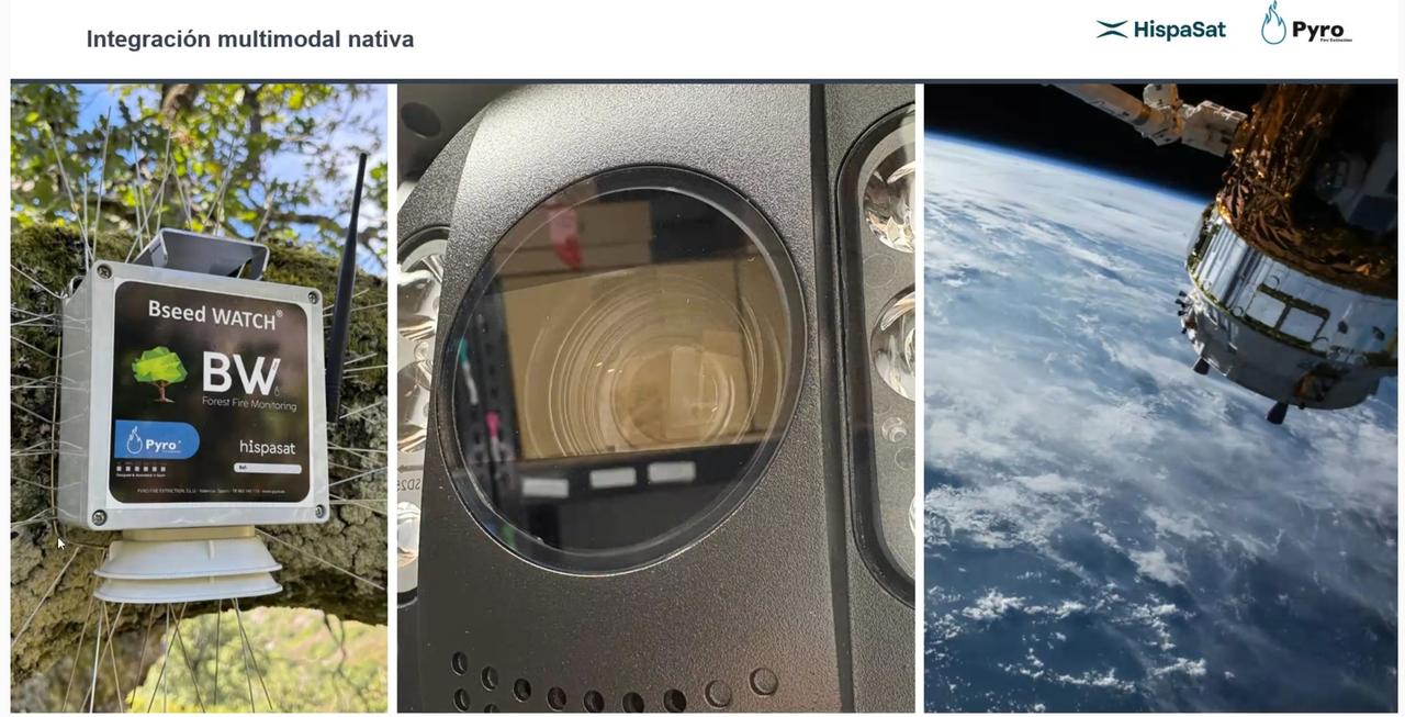
It is worth highlighting its main contributions, because they point the way:
- Early and automatic detection. It integrates cameras and sensors that watch the territory continuously and raise the alarm in the first minutes of ignition, precisely when the fire is still extinguishable. When we say continuously, we mean every 5 seconds, because once a fire starts, every second counts.
- Real-time monitoring. It does not merely warn that there is a fire: it tracks its evolution, allowing firefighting commanders to see how it behaves and where it is heading without relying solely on direct observation on the ground.
- Integration of data sources. It combines information from electrochemical field sensors, cameras and remote sensing to offer a single, coherent picture of the situation, overcoming the data fragmentation that so hampers decision-making.
- Operational decision support. It turns data into useful information for whoever has to decide where and how to intervene, gaining time in the critical window. Artificial Intelligence has made it possible to train models, and the cameras’ false-alarm rate has fallen from more than 90% to less than 3.6%.
- Pyros shows that the technological part is solved. What is missing is the will to deploy it preventively and across the board, and not only as a one-off response once the land is already burning.
Moval Montes: bringing order to the land before it burns
It is a platform designed for the bodies that manage forest assets and need to keep all the information about the territory under control clearly and simply. It combines digital cartography with databases of plots and owners in a single viewer, and from there come its concrete contributions to forest management and the fight against fires:
- Knowing the territory and who manages it. It integrates the register of owners and the complete cadastre, so that one knows what is in the forest, who is responsible for each plot and what condition it is in. It is the basis for moving from anonymous abandonment to management with names and surnames.
- Planning prevention, not just response. The GIS viewer makes it possible to locate weak points, design firebreaks and plan emergency routes and access points before the fire arrives, which is exactly the proactive approach this post calls for.
- Gaining time once it is already burning. In the middle of an emergency, knowing instantly which plots are affected, who owns them and how to coordinate the response turns scattered information into fast decisions.
- Organising day-to-day management. Filtering by association, province or custom criteria, organising meetings, processing subsidies and planning reforestation. Unglamorous tasks, but they are the ones that sustain a managed forest —and a managed forest burns less.
Detection and ownership are the two halves of the same problem: it is of little use to see the fire in the golden minute if you do not know who owns the hillside or how to reach it. Pyros provides the eyes; Moval Montes, the map of who must act.
Despite the distance, a fire too close to home
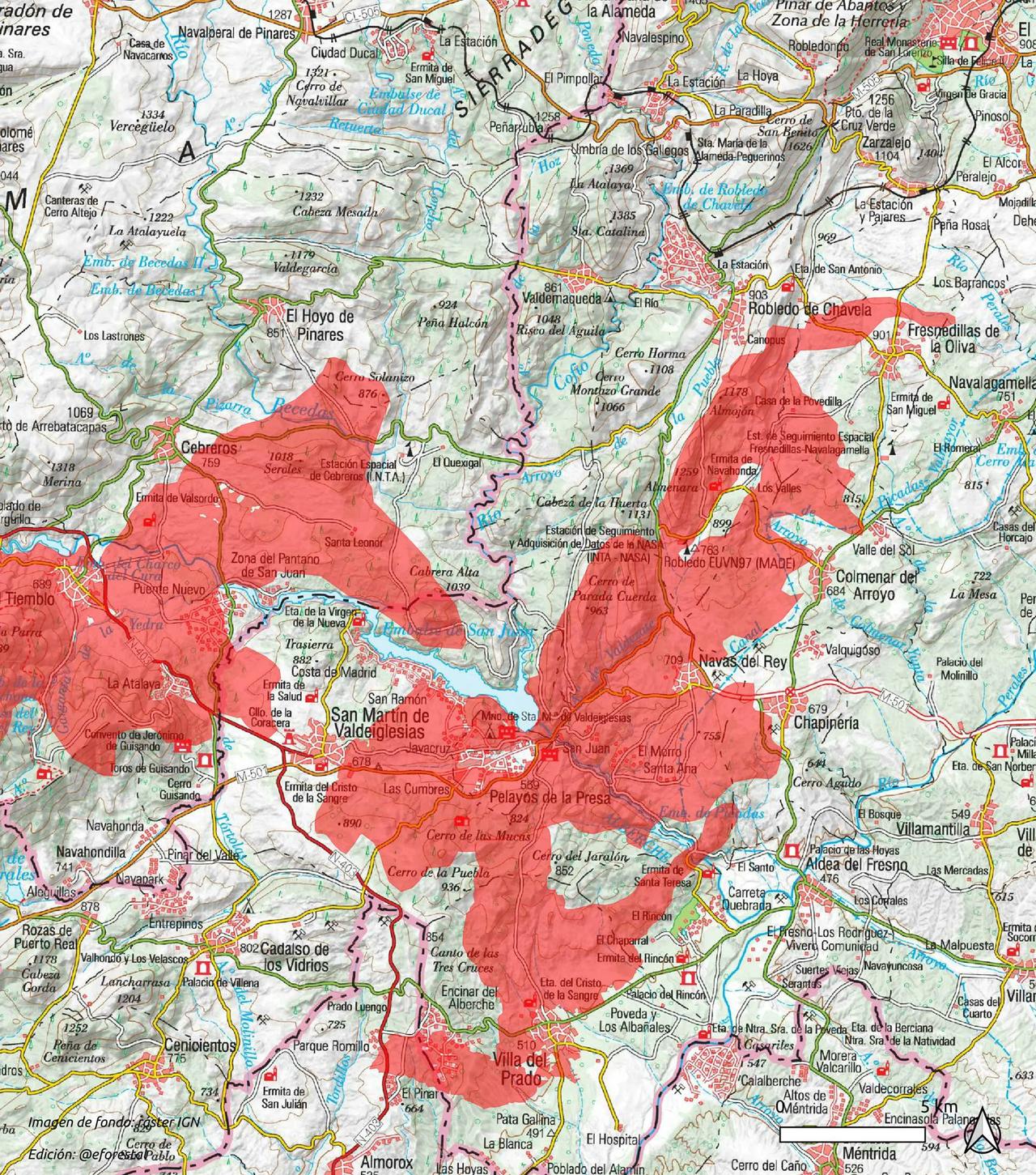
I write these lines while Madrid and Ávila burn, with the national emergency declared and NASA’s antennas in Robledo de Chavela in a critical situation. It is not a good moment to write about fires; it is, precisely, the moment when everyone writes about fires, and this is a fire too close to home not to write about.
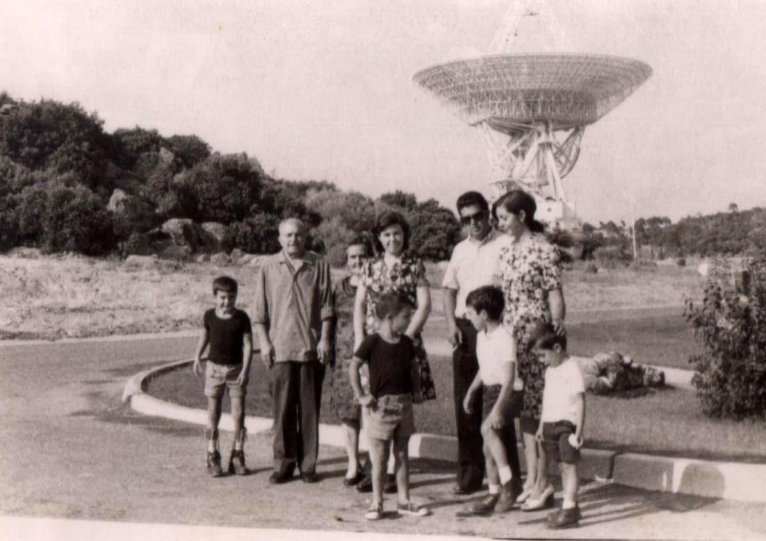
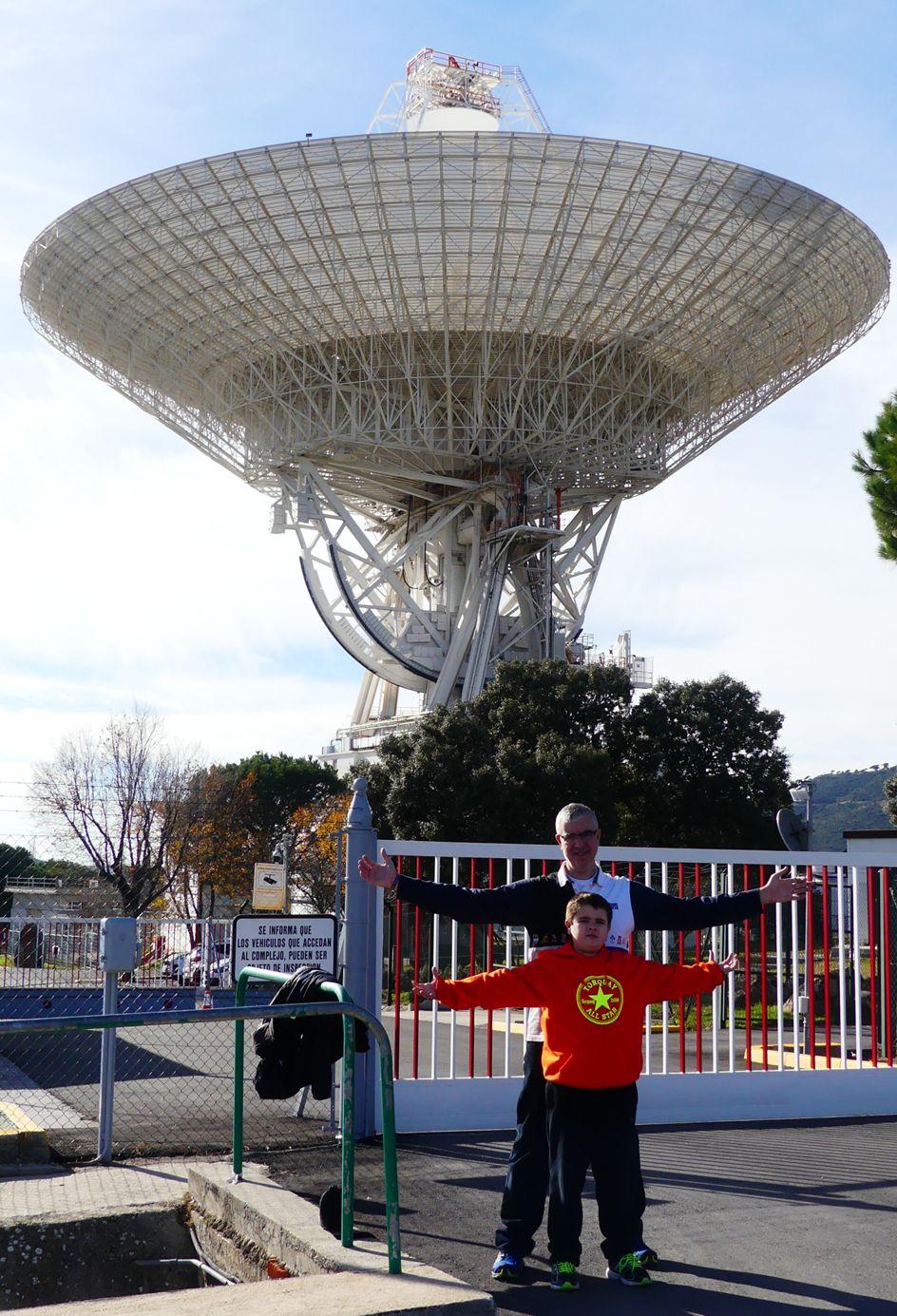
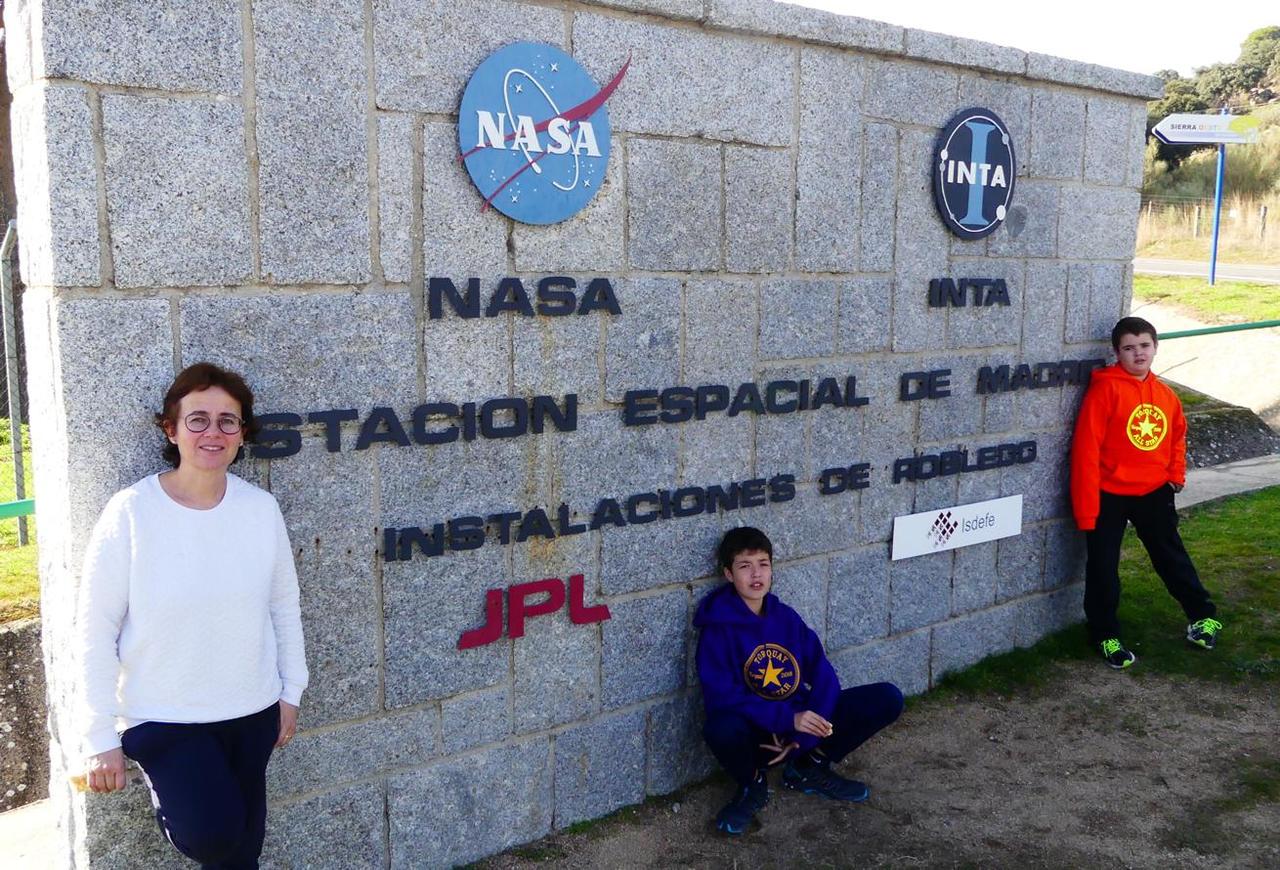
It was a celebration in which she was the star, but we were also able to greet her sons Junior and Jorge (who is in the USA) and her grandson Xavier, who is in Germany. The place where a month ago we were blowing out candles for a 90th birthday has now been threatened by fire. Update on Sunday at 10:23 from Educación Forestal.
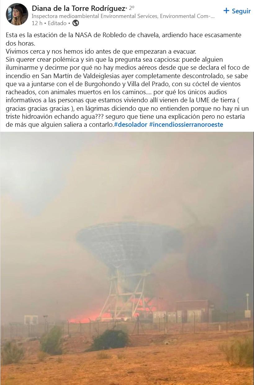
On Saturday El País published the report “Flames and smoke force the evacuation of a NASA station in the Sierra Oeste of Madrid”, which explains how a hundred people had to be evacuated. But minutes earlier, LinkedIn had shown me a post that struck me in a special way: the flames surrounding that very space station.
For more than sixty years we have been able to track deep space —and are we not going to be able to monitor our own forests?