Remote sensing could be an effective tool to monitor SD of inland waters by monitoring the water leaving radiance. Remote sensing derived water clarity has been reported in many regions with specific models established for different satellite overpasses concurrent with in situ measured SD, but national water clarity remained unknown in China.
A recent study led by Prof. SONG Kaishan from the Northeast Institute of Geography and Agroecology of the Chinese Academy of Sciences, quantified the water clarity for lakes >8 ha in China using Landsat OLI imagery data for the first time. The finding was published in Remote Sensing of Environment.
The researchers conducted SD in situ measurements of 500 lakes across China from April 2013 to September 2018.
Based on field measurements of SD value and Landsat imagery data, they found that a combination of the Red/Blue band ratio and rhos atmospheric correction derived from remote sensing reflectance was the most effective approach for estimating SD on a national scale.
The researchers then used the approach to map SD on a national scale with OLI images mainly acquired in 2016.
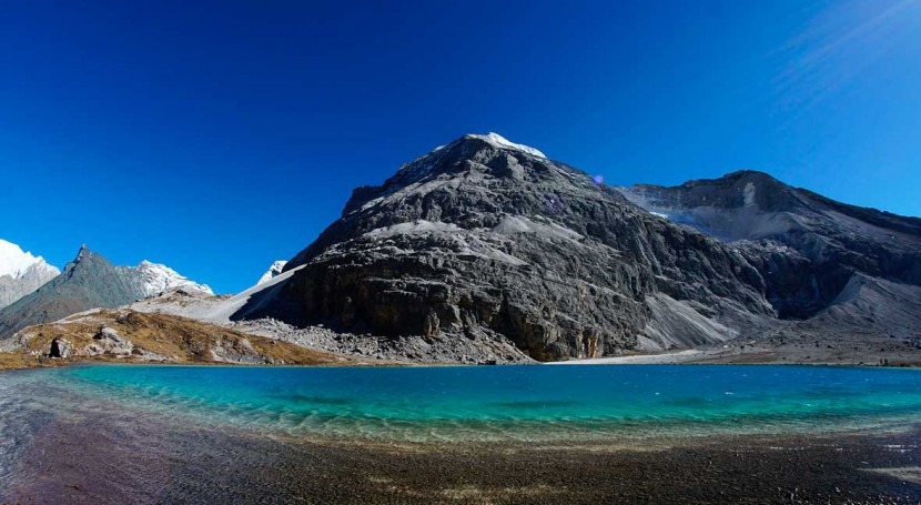
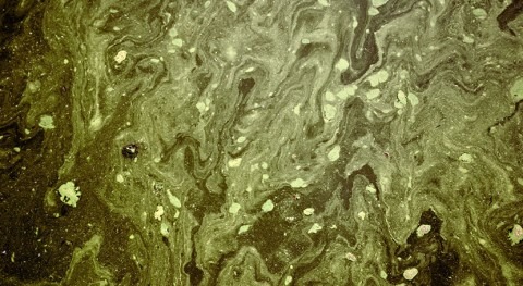
The results showed that the national water clarity was averaged to 176 cm in 2016 with large spatial variability due to the marked variation between turbid waters in the east plain area and clean water across the Tibet Plateau. Specifically, lakes in the northeastern (75 cm) and eastern (84 cm) China had low clarity due to shallow water depth combined with high suspended matter and algal abundance. Lakes in the Yungui Plateau (91 cm), Inner Mongolia and Xinjiang autonomous regions (114 cm) exhibited intermediate clarity, while lakes in the Tibet Plateau (294 cm) displayed the highest clarity.
This study provides useful information to evaluate the impacts of climate change and anthropogenic activities on lakes on a national, continental or even global scale.
“The approach has the potential to retrieve SD with archived Landsat imagery to determine the temporal variation of SD on a national or continental scale, which can be used to support inland water management and decision-maker for improving water quality,” said Prof. SONG.


