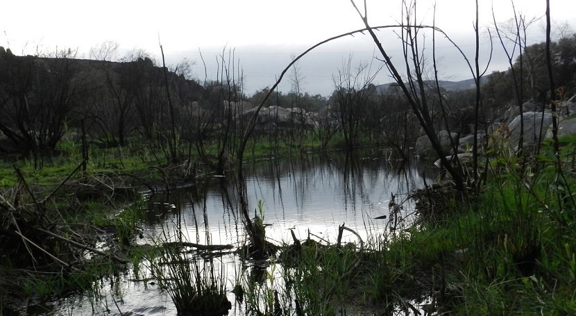
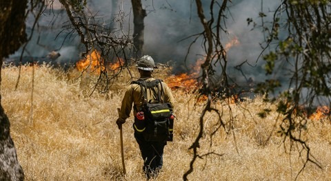
After a wildfire, loss of canopy vegetation and changes to soil properties can occur, which leads to more water flowing over land during rainfall. This can lead to flooding, erosion, and the movement of sediment, ash, pollutants and debris to surface water.
The range of water quality impacts after a wildfire varies, from no noticeable change to large increases in the amount of sediment, nutrients, metals and other constituents. This can result in decreased water quality, loss of reservoir storage capacity, stream habitat degradation and increased treatment costs for drinking water providers.
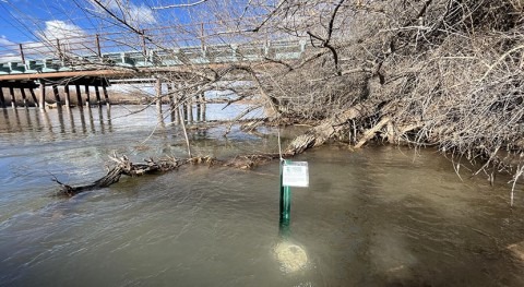
The most severe water quality impacts are often delayed until high-intensity rainstorms occur, which can happen months to years after a wildfire. This can complicate efforts to collect post-wildfire water quality data, as funding opportunities for data collection have likely diminished by the time the most severe impacts have occurred.
To improve understanding of how wildfires affect water supplies, USGS scientists developed a strategy for selecting water sampling locations and methodologies for data collection, in order to improve the identification of regional insights into wildfire impacts on water quality.
“We don’t currently have enough data to estimate how wildfires affect water quality in different regions,” said Sheila Murphy, USGS research hydrologist and lead author of the study. “Monitoring water quality after wildfires in a strategic, consistent way would help us assess and predict the impact of wildfires on surface waters, which is critical to human and ecosystem health.”
With hundreds of wildfires occurring in watersheds across the country each year, it would be difficult to monitor every stream within or downstream of a burned area. Collecting post-wildfire water quality data from sites that are diverse in climate, land use, geology and vegetation can build a foundation for distinguishing regional differences in impacts to water.
One of the study’s key insights is a list of important parameters to measure after a wildfire. These parameters are critical to understanding how post-wildfire water quality impacts humans, wildlife and the environment.
The parameters are divided into two tiers in order to help balance the collection of essential data with fiscal and practical constraints. Parameters in the first tier, which includes water temperature and turbidity are considered the highest priority for assessing impacts of wildfire on water quality. Parameters in the second tier, such as alkalinity, lay the groundwork for next-generation modeling capabilities but can also substantially increase monitoring costs.
This USGS research can provide water providers, reservoir operators, land managers and emergency response agencies with actionable guidance to prepare for and mitigate against wildfire impacts to water supplies.

.")